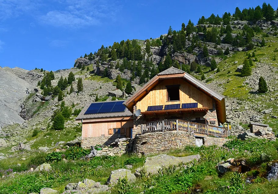
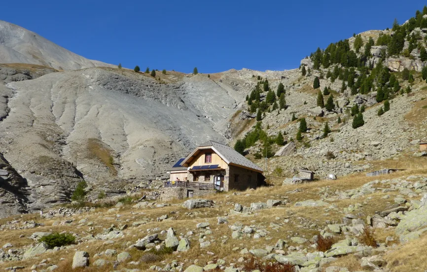
After having exceeded the upper limit of the larch and crossed the Pas de la Piche, you will discover the Roger Carle refuge, a stage allowing you to reach the highest point in the Dignois region: 2961m.
Route details
Description
From the Lac des Eaux Chaudes car park, the route follows the access track to the hamlet of La Combe, then a path that rises in the forest before crossing several avalanche corridors. The efforts made to cross the Raidillon des Revaux are largely rewarded by the beauty of the landscapes provided by the Piche waterfall and the outlet into the Estrop circus, with the refuge visible in the distance.
Estrop summit over 2 days with night at the refuge
1st day parking/refuge (3h)
2nd day refuge/summit/parking (7h30)
Estrop summit over 2 days with night at the refuge
1st day parking/refuge (3h)
2nd day refuge/summit/parking (7h30)